Hutchinsons agronomist James Short answers some of the key questions about Terramap and how it offers an improved insight and understanding of soil performance, allowing for targeted management and putting resources where needed.
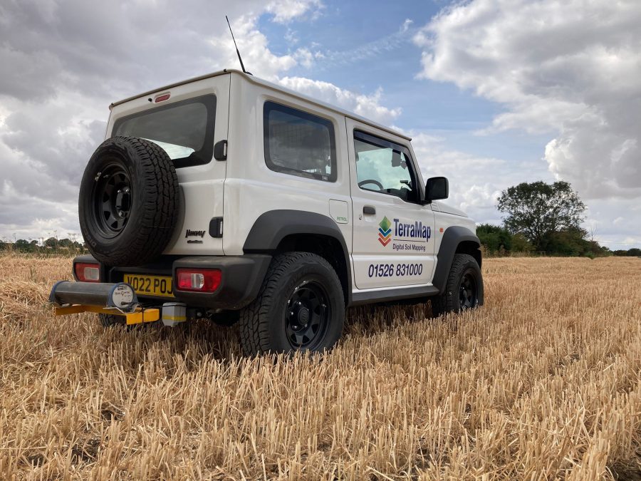
TerraMap is Hutchinsons’ revolutionary, high-definition soil mapping service which provides unprecedented insight into soil health and performance. Using cutting-edge passive gamma-ray detection, emitted by a scanner carried on an all-terrain vehicle, TerraMap measures naturally occurring isotopes to create highly detailed soil maps.
Unlike traditional soil sampling alone, TerraMap combines these advanced scans with reference soil samples to produce high-resolution maps of both nutrient and physical soil properties. With up to 48 soil characteristics mapped at 800 data points per hectare, TerraMap helps a farmer truly understand the soil – and its potential.
When can I have my fields TerraMapped?
TerraMap offers a flexible scanning window unmatched by other systems. While many opt to scan after harvest, when fields are easiest to access, TerraMap can be used at almost any time of year, making it highly convenient for farm planning.
If ground conditions allow, scanning is unaffected by soil moisture, stone content, compaction, crop cover or cultivation state. If the vehicle carrying the scanner can access the field, it can be mapped. Hutchinsons has 24 scanners based around the country and around 80 hectares per day can be mapped.
Do I need to have a Hutchinsons agronomist to have my fields Terramapped?
No. A member of the digital services team is able to deliver the results and go through them. The data created by Terramap is compatible with other software programmes.
Why should I choose TerraMap?
TerraMap delivers more accurate and detailed soil maps than any other system. This greater definition provides a clearer picture of soil variability across your fields, enabling:
- Smarter, more precise input planning through variable rate applications
- Improved understanding of field performance
- Identification of problem areas for targeted action
- Reliable carbon baseline measurements.
What does TerraMap measure?
Depending on the businesses needs, TerraMap offers six service levels with up to 48 layers of soil data including carbon, designed to suit different budgets and requirements:
- Standard – Maps Phosphorus (P), Potassium (K) and Magnesium (Mg), pH, soil texture and elevation, and meets the requirements for Farming Rules for Water
- Standard & OM – as above plus organic matter (OM)
- Premium – everything in Standard & OM plus cation exchange capacity, elevation, plant available water index and eight additional nutrients.
- Standard Carbon – standard service + OM + organic carbon (percentage and tonnes per hectare)
- Premium Carbon Plus – everything in Premium plus organic carbon and active carbon (both as a percentage and tonnes per hectare)
- Gold – The most detailed option, covering all soil, nutrient, physical and carbon properties. This service measures soil’s ‘plant available’ and ‘non-readily available’ nutrients, allowing greater understanding of soil dynamics.
For more like this, sign up for the FREE South East Farmer e-newsletter here and receive all the latest farming news, reviews and insight straight to your inbox.