
Today’s precision farming requirements demand greater accuracy and currently UK growers do not have access to a high definition soil scanning system – until now, says Hutchinsons precision technology manager, Oliver Wood.
TerraMap uses gamma-ray detection technology that delivers resolutions of over 800 points/ha, providing high definition mapping of all common nutrient properties, pH, soil texture, organic matter and CEC as well as elevation and plant available water.
“With such a growing level of interest in soils, the launch of TerraMap comes at the perfect timing for farmers that are looking for that next level of accuracy in understanding their soils – which has not previously been possible.”
“We have been looking for a new method of mapping soils that provides more accurate and repeatable results, and can also leverage the multi-layer analysis within Omnia,” explains Mr Wood.
The results from TerraMap are used to create maps within the Hutchinsons Omnia system which can then be overlaid with additional field information such as black-grass, yields and so on, to create the most accurate, consistent and detailed variable rate plans.
The infield process of collecting the data is carried out in 2 very simple steps; scanning by driving a light weight all terrain vehicle fitted with the sensor over a field, and then taking soil samples to allow for each scan to be used to create the individual map layers.
Manufactured by Canadian company SoilOptix, TerraMap’s scanning technology is based on a scaled-down version of airborne sensors that originates in mineral prospecting, and has been used in other countries successfully.
It measures naturally emitted isotopes, like Caesium and Potassium, that are very stable due to their long half-lives.
“It’s an entirely passive sensor.”
{in-brief}
“The significance of this methodology is that it is not affected by soil moisture, compaction, crop cover or cultivation state.”
“This means that there are very few limitations to when TerraMap can be used – offering a much wider operating window compared to other soil scanning systems.”
The consistency and reliability of the results from TerraMap are proven, points out Mr Wood.
“We have taken satellite imagery of fields that showed up areas of soil differences quite clearly and when we overlaid this with the texture maps created by TerraMap they were identical. This has been confirmed by in-field ground truthing across a number of sites.”
“We have also tested the results between seasons and over different cultivations, and they have remained consistent.”
It was on this basis that Thurlow Estates manager, Andrew Crossley trialled TerraMap. “We had used another scanning service back in 2012 and it threw up some questionable results, which we put down to interference to the scanning from the chalky soils and changes in soil structure, but nothing was conclusive.”
“When we were introduced to the TerraMap system, we felt that it would work well with our soil types so it was worth giving a go. The results have been impressive and are more accurate than previous results.”
“We look forward to seeing how this will integrate this autumn with our precision farming to give us more accurate variable rate plans, especially on our chalky soils.”
TerraMap is available from Hutchinsons in a standard or premium service offer. The standard service measures 9 criteria: P, K, Mg, pH and % of clay, sand, silt, texture and elevation. In addition to these, the premium service also measures calcium, manganese, boron, copper, molybdenum, iron, zinc, sulphur, OM, CEC and plant available water, delivering 21 layers of data for each field.
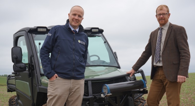
Pictured: Oliver Wood and Jim Woodward